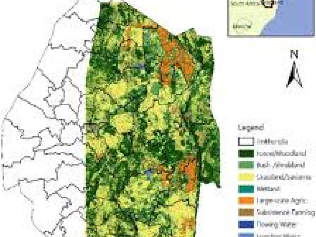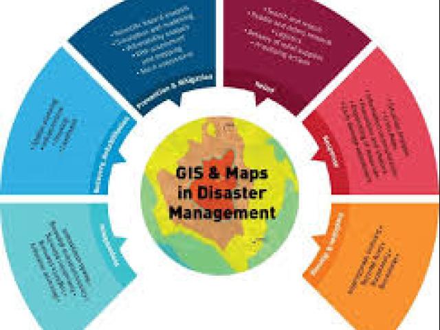
The "Geographical Information System and Remote Sensing Technologies for Disaster Risk Management" event, organized by Vital Extra Learning and Consultancy, aims to equip professionals with essential skills in using Geographic Information Systems (GIS) and Remote Sensing (RS) for disaster risk management. This course is tailored for individuals, companies, NGOs, and government entities seeking to enhance workforce productivity and close competency gaps through specialized training. Participants will gain practical skills to address the challenges faced during pre-disaster, disaster, and post-disaster scenarios, such as early warning systems, hazard assessments, and damage evaluations.