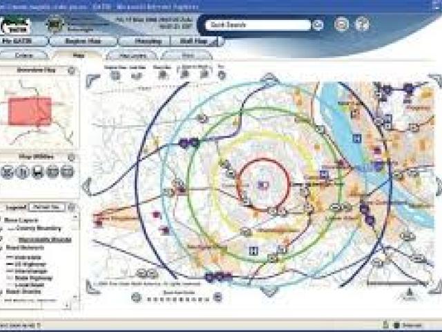
The event titled 'Geographical Information System (GIS) and Remote Sensing (RS) Technologies for Disaster Risk Management' is organized by Vital Extra Learning and Consultancy and takes place in Abuja, Nigeria. This course aims to engage professionals, organizations, and governmental bodies in enhancing their understanding and application of GIS and RS in the field of disaster risk management. With the increasing frequency of extreme climatic events leading to heightened vulnerability in communities, this course addresses critical competencies required for effective disaster risk assessment and management.


