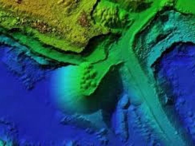
The 'GIS and Remote Sensing Applications on Watershed Characterization, Resources Management and Rainfall Forecasting Training Course' is set to take place in Accra, Ghana, from September 15 to September 26, 2025. This immersive training course aims to equip participants with essential skills in Geographic Information Systems (GIS) and remote sensing techniques crucial for effective watershed management, resource allocation, and accurate rainfall forecasting. Attendees will engage in hands-on learning experiences, case studies, and collaborative discussions led by industry experts and seasoned practitioners in the field.


