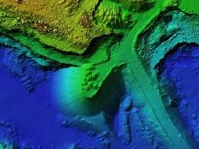
IRES course covering theoretical principles and practical applications of watershed management, geospatial technologies, digital elevation models, terrain analysis, soil erosion modeling, and conservation planning. Target audience includes conservation officers, government departments, universities, research institutes, NGOs.


